Where the heck is the water? Is Whiskey Creek a harbinger of climate catastrophe? Part 1
I was just 6 years old in 1949 when my family moved from Upstate New York to a tiny village in Southwestern New Mexico called Whiskey Creek. Whiskey Creek? Really? Well, no, not really. Sorta, though…. But I’ve told my Whiskey-Creek-the-Village in other web pages.1 the story I want to tell. I want to tell the story of Whiskey-Creek-the-disaster-that-might-be-around-the-corner.
You read right. Disaster. Yeah. A potential flood. A BIG, almost certain flood. A flood that could float much of Arenas Valley right off the map into Mexico, just 160 kilometres (150 miles) south, probably not in the few yars remaining in my lifetime, but quite possibly within your lifetime.
!!! IMG FILE '/Users/Bob/Sites/ephemeral/html/imgs/whiskey-creek-arenas-valley-pc.jpg' NOT FOUND !!!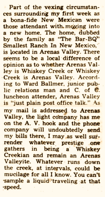
Whiskey Creek wasn’t Whiskey Creek’s official name, but even when the village got its post office in 1946, most people still called it Whiskey Creek (although their bills were addressed to Arenas Valley)

My family lived in Arenas Valley for eight years before moving to Silver City. But let’s forget about my Arenas Valley adventures, which I enthusiastically cover in two other Ephemeral Treasures web pages1, and concentrate on the interesting arroyo2 called Whiskey Creek,
Where’s the flood?! Google’s Street View is a great tool for “going home,” in case you, like me, left home at a young age and never returned except for visits, and your last visit was years ago. Recently I decided to take a look at Whiskey Creek the arroyo. And as they say, you can’t ever go home again. Whiskey Creek (the arroyo) has changed. Over the years, what used to be that broad “avenue” of sand that I mentioned earlier in this web page, has vanished, leaving behind a thin, sandy shadow of itself, mostly overgrown with weeds and brush. Large cottonwood trees that grew on the north bank of Whiskey Creek are still there, including one that my friends and I used to climb on a regular basis. I wouldn’t dare to climb it now, not that I could, because it’s a lifeless, leafless, brittle skeleton of a tree, and must soon fall down to decay and join its old, lifeless roots. Neverless, looking at this image I can almost here the voices of my friends and me coming from high in its branches.
And there is something else that is, apparently, no more — that’s Whiskey Creek in flood. I am writing about an arroyo named Whiskey Creek, and what I’m to write about Whiskey Creek could one day mean the difference between life and death to many people. But first, let me explain what an arroyo is.
People who haven’t experienced life in the American Southwest are probably unaware of the loanword arroyo]. A loanword is a word that is borrowed from one language and incorporated into another. In this case, arroyo is a Spanish word which in English means stream or brook. But the arroyo named Whiskey Creek never was a brook or a stream, and it certainly never ran deep with whiskey.
Whiskey Creek is a normally dry gulch,gulley, or draw in the vernacular of the American Southwest. An arroyo or draw is dry streambed or a low area between hills where water may flow during rain but is typically dry. It is often characterized by a downward slope and can be a natural drainage feature.oris in a way about whiskey, and specifically causes Whiskey But there’s a mystery here. Why would Whiskey Creek devolve, in just 60 years, into a mere shadow of its former, formidable self? The bed of the arroyo is now a tiny fraction of its width in the 1950s. Here are some possibilities:
• Has the climate change / climate crisis / climate catastrophe dried out the American Southwest to the extent that that Whiskey Creek rarely flows with water, and that desert grasses and shrubs have slowly narrowed it almost to extinction?
• Has suburban sprawl resulted in attempts to divert and contain runoff from the Piños Altos Range? Many homes, roads, and streets have been built in the area north of Arenas Valley, where in the 1950s there was just one dirt road and one house about a mile north of my family’s house.
• Throughout most of the 20th Century, intense efforts by the U.S Forest Service to extinguish forest fires left healthy parts of the forest to do their forest thing, which was to drop needles, leaves, cones, branches, and birds’ nests onto the forest floor, slowly building up the deep layers of decaying vegetation and animal matter called duff, which itself becomes home to innumerable invertebrate critters such earthworms, spiders, insects, all of whom of course die and add their bodies to the mix. The thick, mattress-like layer of duff is good when it comes to is nature’s sponge, soaking up rain and preventing runoff. In conditions of drought, the duff becomes powder dry and in effect becomes a incendiary bomb ready for ignition by a bolt of lighting, a random spark generated by human activity. That ignition can start with a barely noticeable smouldering. Under especially hot, dry conditions, however, a bolt of lightning or even a single spark can instantly turn bone-dry duff into an incendiary that can may quickly “blow-up” in a new “megafires” that will be the lead story on the evening news. It seems that Whiskey Creek (and Rio de Arenas) are bellwether warning us humans that we tamper with nature at our peril. In recent decades, megafires have burned huge swathes of the Gila National Forest, including large areas of the Piños Altos Range. We have seen how the megafires burn so hot that they destroy not only the forest above ground but sterilize the ground itself, creating ideal conditions for severe erosion and floods. Given the increasingly destructive storms that are impacting countries around the world, it’s anyone’s guess when Whiskey Creek (and Rio de Arenas) might carry floodwaters of unprecedented volume that could destroy much of Arenas Valley and the areas north and south of both of the Arenas Valley Road and Highway 180.